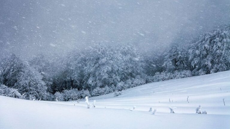
Heavy snow blanketed parts of the Northeast on Friday, with the heaviest accumulations stretching from southern Connecticut through the Hudson Valley and into upstate New York. Most of Long Island recorded between 2 and 6 inches of snow.
The New York City area saw just under 3 inches of snowfall, with difficult travel conditions expected to persist through Saturday morning as crews continue cleanup efforts.
While the winter storm is winding down, lingering light snow and a wintry mix are forecast to continue through Saturday along the I-95 corridor. An additional inch of snow and a light glaze of ice remain possible in some areas.
Forecasters warned that temperatures across the Northeast—from Washington, D.C., and Pittsburgh north and eastward—are expected to fall to near or below freezing Saturday night, raising the risk of refreezing slush and untreated surfaces.
Another weather system is expected to move into the region late Sunday into Monday, bringing primarily rain, though a wintry mix may occur at higher elevations.
Elsewhere, a storm system moving across the country will bring additional snow to the interior Mountain West this weekend. On Saturday, snowfall is expected across the Rocky Mountains, from Idaho and Montana through Wyoming and Colorado. Snow may linger into Sunday across the Colorado Rockies and northern New Mexico, with most mountain areas receiving up to a foot of snow and isolated totals approaching 18 inches.
By Sunday, rain is forecast to spread across the Midwest from Kansas and Missouri into Ohio and Pennsylvania. Scattered thunderstorms are also possible from Arkansas northward into Ohio, with some storms potentially producing strong winds and an isolated tornado.
The system is expected to push east late Sunday into Monday, bringing widespread rain to much of the East and areas of freezing rain in parts of northern New England.
Looking ahead, Monday is expected to start off wet for the East Coast, with rain dominating and some snow or wintry mix possible around the Great Lakes. Conditions should then turn quieter nationwide leading up to New Year’s Eve, with seasonably warm weather in the West and cooler conditions in the East.
After the New Year, a new weather pattern is expected to settle in, bringing continued warmth across much of the West and parts of the South, while the Upper Midwest and Northeast remain cooler with an active pattern of fast-moving systems.