Caribbean nations are urging residents to make emergency preparations as a powerful and potentially deadly hurricane intensifies on its path toward them. Beryl, the first named hurricane of the season, is expected to make landfall over several islands late on Sunday.
Forecasters have labeled the hurricane “extremely dangerous” and predict it will develop into a category four storm, with winds reaching up to 155 mph (250 km/h) and a storm surge of 6-10 ft (1.8-3 m).
The major storm is expected to strengthen further as it nears the Caribbean islands of Barbados, Dominica, Grenada, Martinique, and others.
AccuWeather Lead Hurricane Forecaster Alex DaSilva emphasized the rarity and severity of the storm, stating, “It’s rare to see a storm rapidly intensify this fast, this early in the season, in this part of the Atlantic. Several islands across the Lower Antilles are facing an extreme risk to lives and property.”
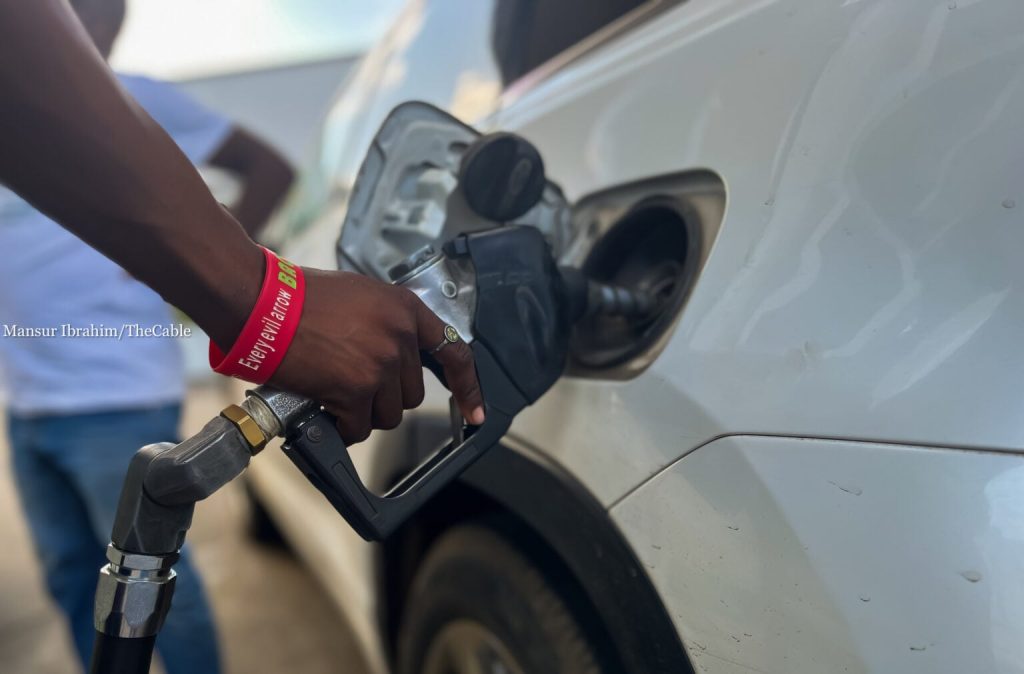
In response, residents across the region are preparing by boarding up their homes, queueing for fuel, and stockpiling supplies and water in anticipation of the storm.
In a national address on Saturday night, the Prime Minister of Barbados urged residents to support their friends, family, and neighbors as Hurricane Beryl approaches. Forming from a tropical storm on Friday night, Hurricane Beryl already boasts winds of 130 mph as it heads toward the western Caribbean islands.
Forecasters predict that by the time Beryl hits the Windward Islands—which include Dominica, Martinique, St. Lucia, St. Vincent and the Grenadines, and Grenada—it will bring “hurricane-force” winds, a “life-threatening” storm surge, and heavy rainfall.
Beryl is the second named storm of the season, following Tropical Storm Alberto, which made landfall in northeast Mexico on June 20 and caused heavy rains that resulted in four fatalities.
The Barbados Meteorological Service has issued warnings for power outages and flash flooding, as the hurricane’s eye is expected to pass approximately 26 miles (45 km) south of the island. The storm is expected to drop up to six inches (15 cm) of rain on several Caribbean islands, including Barbados.
In response, residents in the Barbadian capital, Bridgetown, are boarding up their homes and crowding supermarkets and petrol stations. “We remain absolutely vigilant and need to take every precaution possible for ourselves, our families, and our neighbors,” said Barbadian Prime Minister Mia Motley.
In St. Vincent and the Grenadines, Prime Minister Ralph Gonsalves urged supermarket and petrol station owners to extend their hours before the hurricane’s arrival and announced that emergency shelters would open on Sunday evening.
Meanwhile, in an online briefing shared by the government of Dominica, meteorologist Ithoma James warned residents to be prepared, emphasizing that hurricanes can be “devastating.”